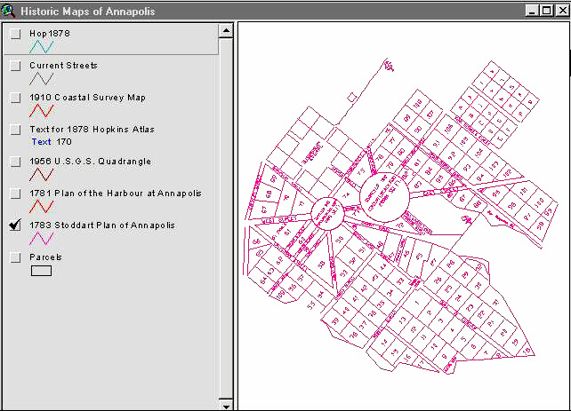
A view of the GIS computer screen showing the 1783 Stoddart Plan of Annapolis. (Cropped to eliminate software buttons and menus.)
Return to the CSA Newsletter article, "GIS and Historic District Management: Annapolis"
Go to CSA Home Page